Day 6: Coburg to Blue River Reservoir (near McKenzie Bridge)
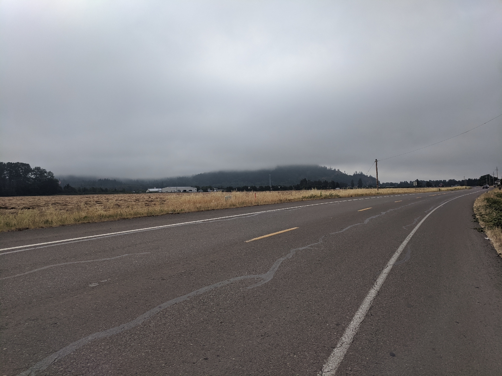
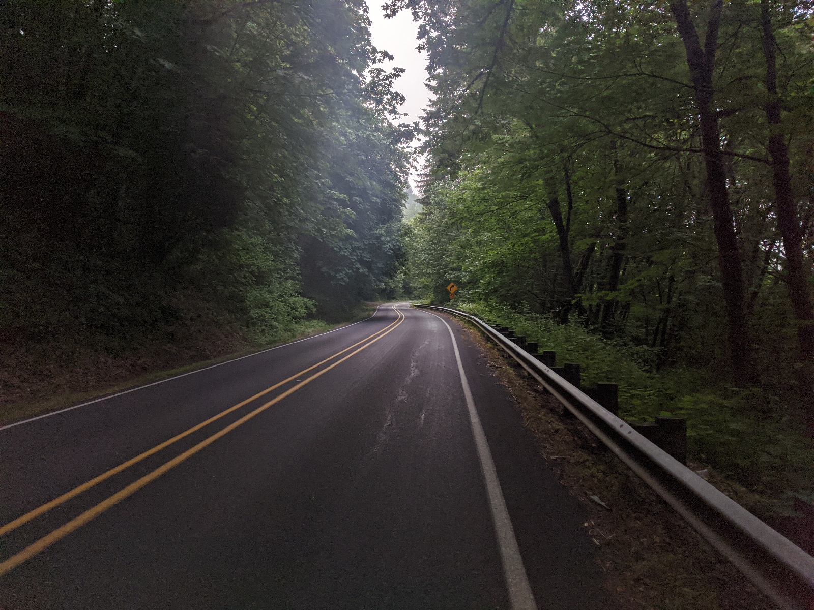
Today was a day of good solid progress. It marked the first day of using my second set of maps, so that felt really good. The day started off nice and early with some oatmeal and tea before I set off right around 7:30. At camp last night there were two other sets of bikers: a couple and another soloist. They were all on the same route I’m doing, the first time I’ve met other people doing it. The couple set it slightly before me and the soloist was still asleep as I left. There was some gorgeous morning riding along a small country road through the trees and blackberry bushes before we were dumped onto highway 126. I tried the blackberries: they’re not ripe yet :(
Right around the time that I merged into 126 I caught up with the couple. I asked them if it would be ok if I rode with them for a bit because the traffic was starting to get pretty bad. In fact, this was the first time in the route that I felt somewhat unsafe. There was frequently little to no shoulder and high speed traffic including logging trucks. I’m glad that the other riders let me join them. It definitely felt a bit safer as a pack. They told me that they’d been planning this ride for several years. They are usually skiers and this is their first bike adventure. The guy also does downhill mountain biking. We reached a small gas station and took a break. I got some biscuits and gravy, which were amazing despite being from a gas station, then headed out solo: the road was getting slightly wider and the traffic slightly lighter so I felt comfortable riding alone. The road quickly got worse for a few miles with no shoulder to speak of but then widened out and stayed wide for the rest of the ride.
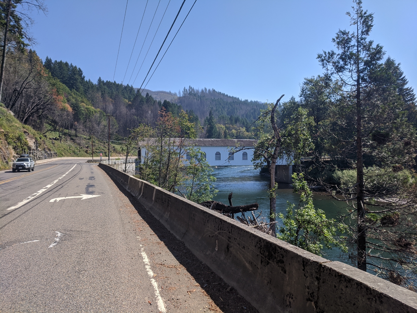
Things soon started to get beautiful: the route began to follow the McKenzie River. Sweeping views of the river ensued:
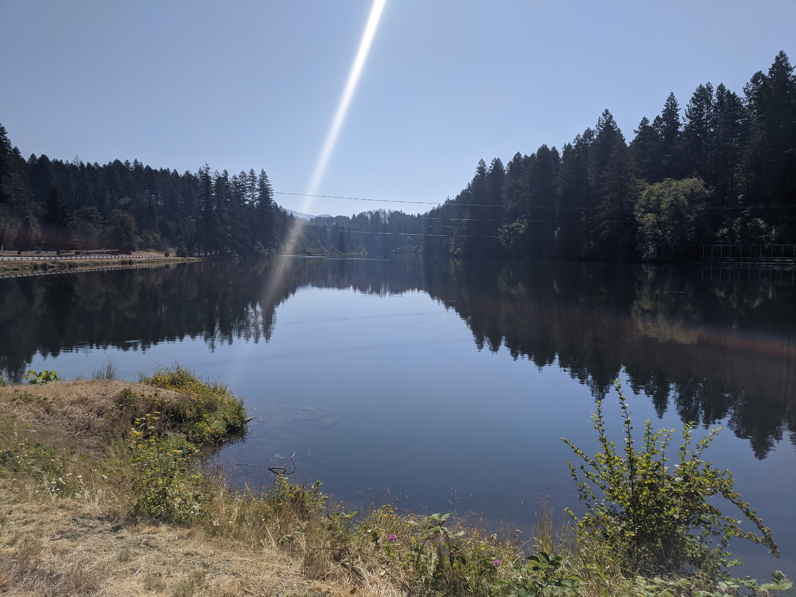
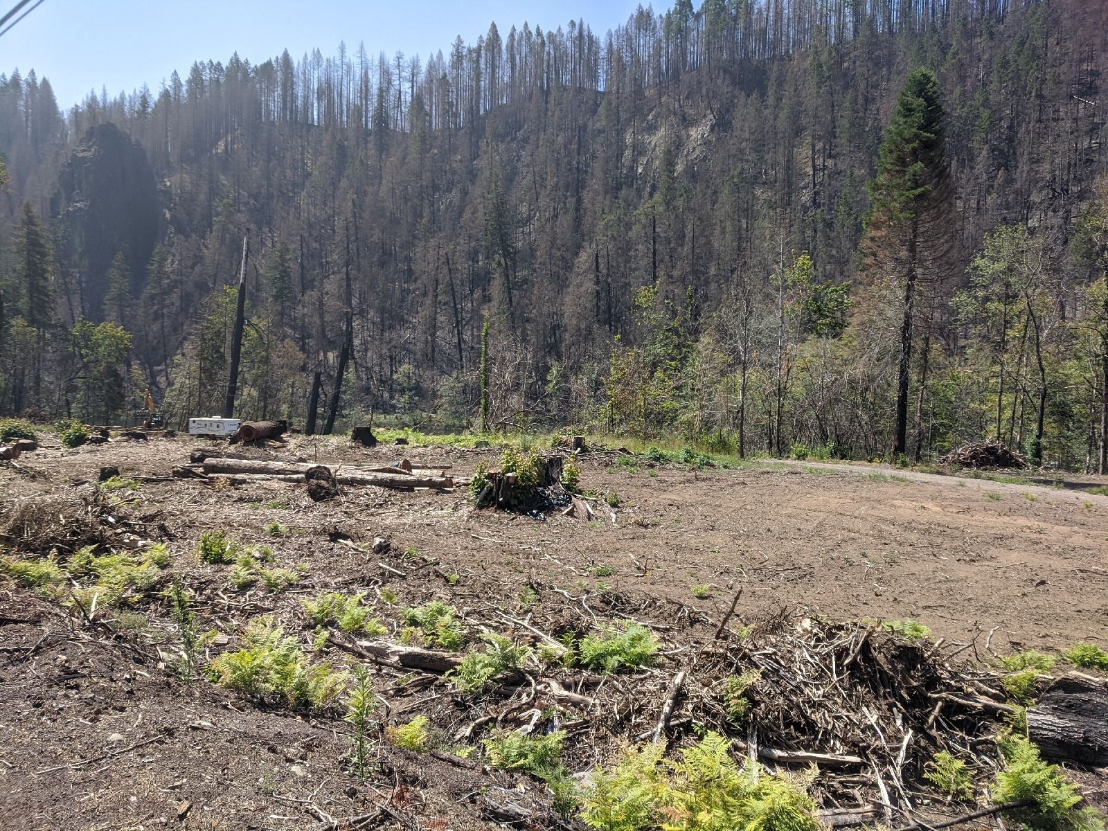
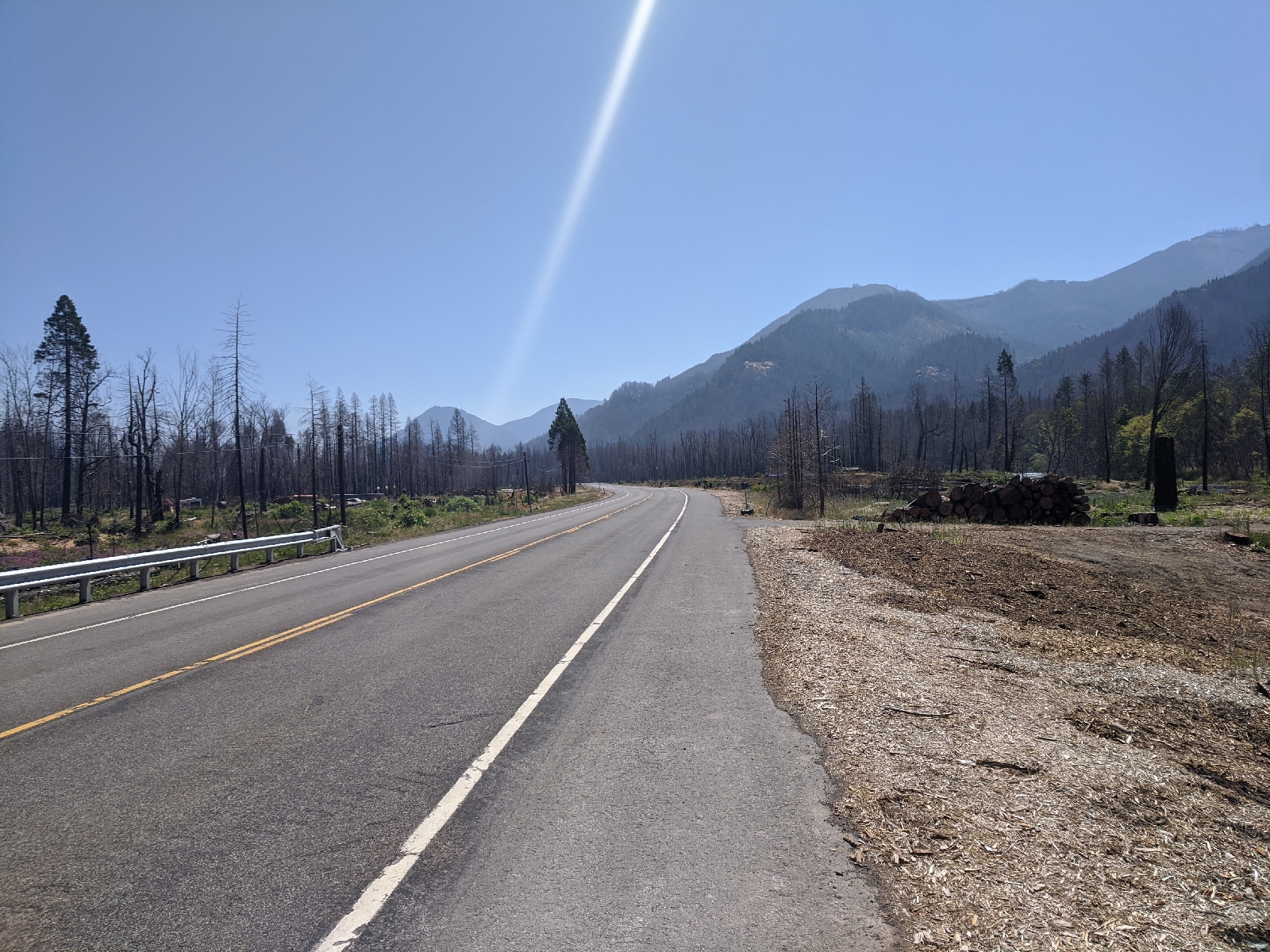
Unfortunately, as I’d been told by someone that morning this area had a massive fire a year or two ago and the scars were still fresh
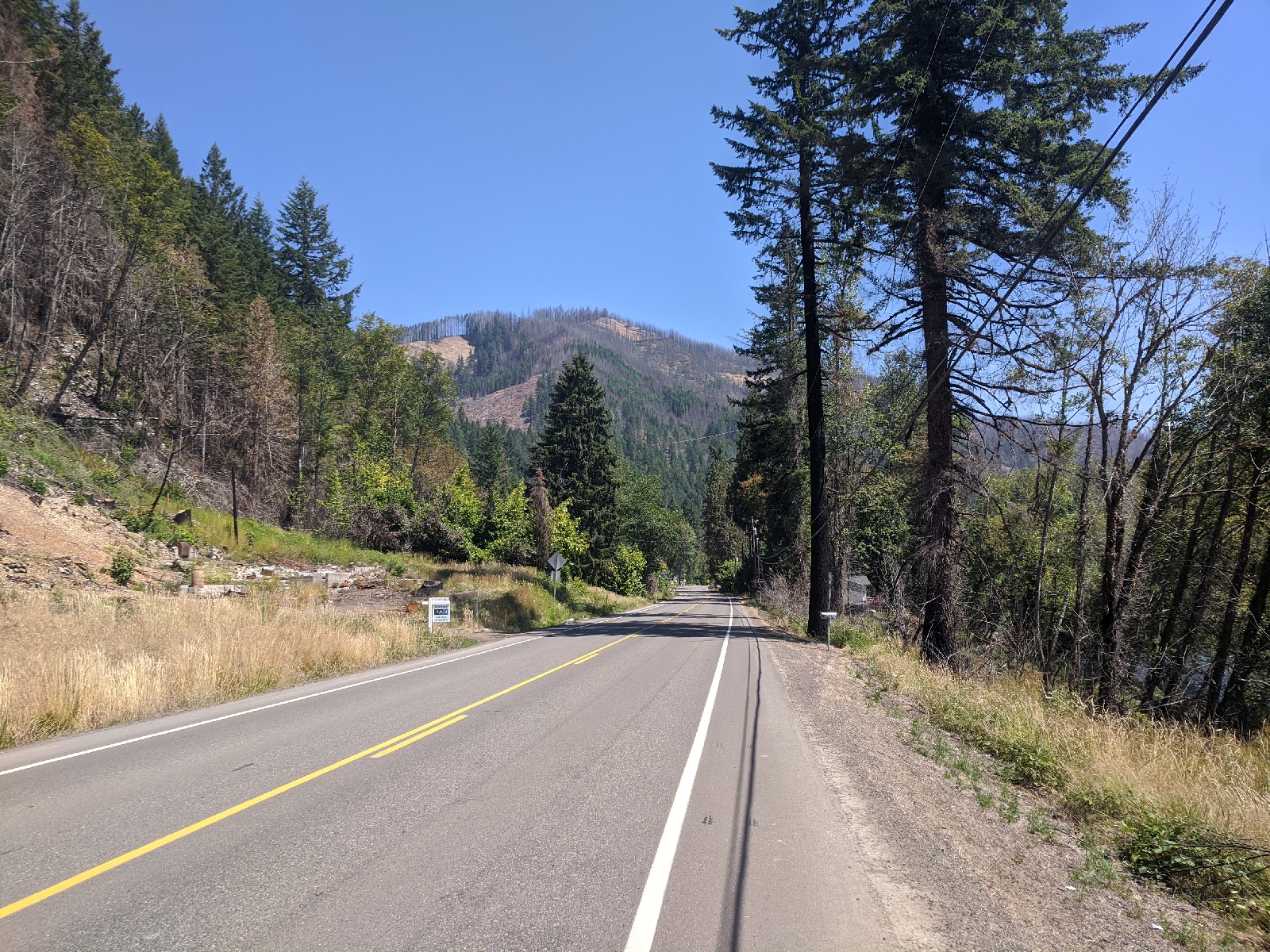
The communities through here are trying to rebuild. I saw hundreds of for sale signs from people that had decided to leave the area, thousands of chopped and fallen burnt trees, and some new houses being built.
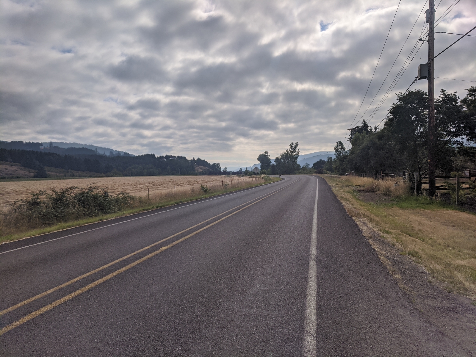
I should note that today was about 1000 feet of climbing. Tomorrow is going to be about 4000 as I go over McKenzie Pass. The terrain is certainly starting to look mountainous:
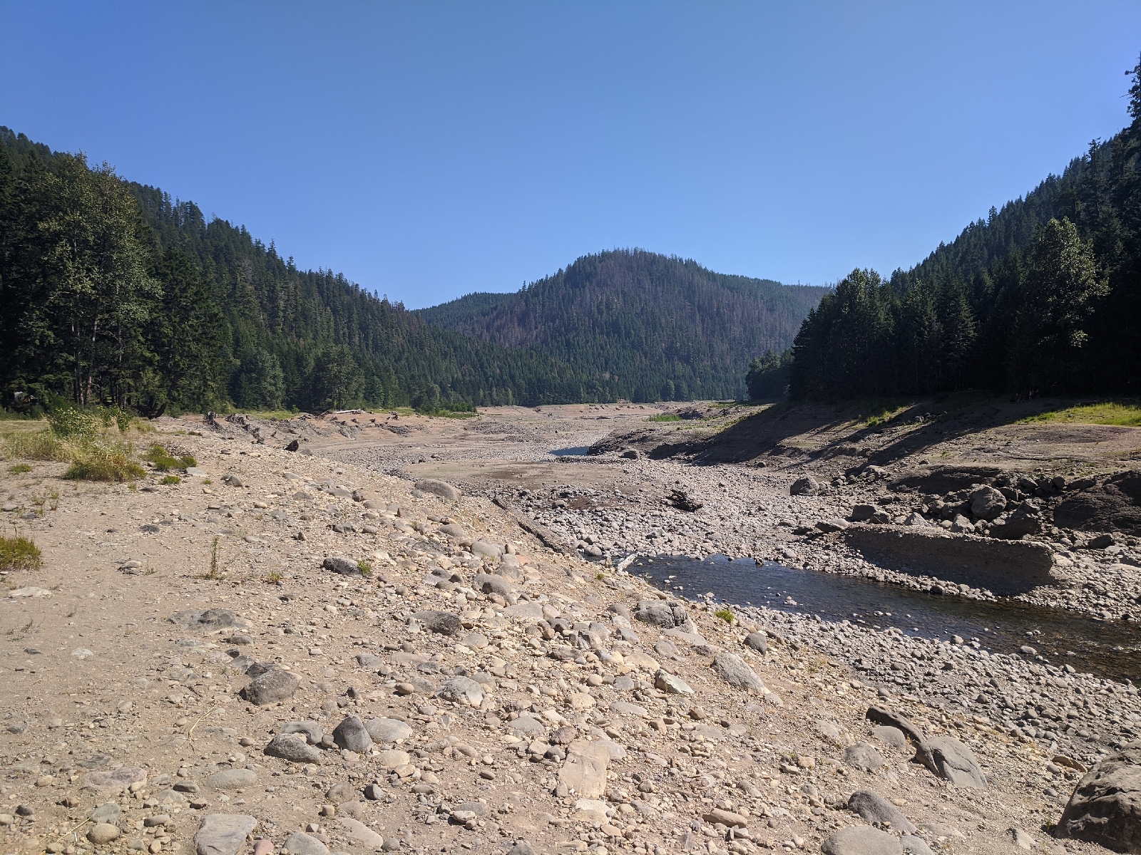
The campground I’m staying in is… strange. It’s beautifully wooded, but situated above a dried out reservoir. As I arrived I saw a couple trying to take their inflatable craft down to the water level. They needed to descend about a hundred feet.
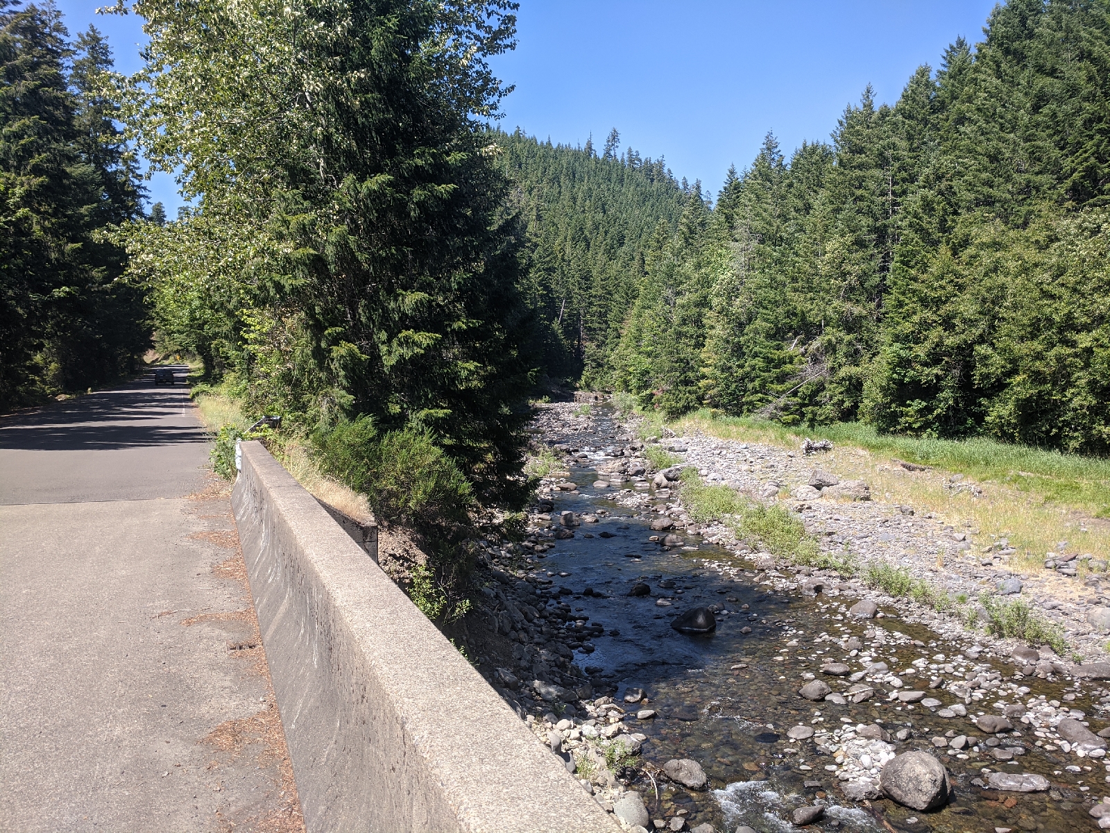
The river feeding the reservoir is flowing and very refreshing. I took a short dip
I got here around 1 and frankly have been a little bored. There’s no cell service so you’ll probably read this tomorrow. I’m going to make an early dinner then head to bed early too. I may get a very early start tomorrow to avoid traffic over McKenzie Pass. Apparently the RVs are killer (hopefully not literally).
Distance: 50ish
Consumption:
- 2 packets oatmeal
- Tea
- Cliff bar
- Biscuits and gravy
- Gatorade
- Nuun tablet
- Lots of beef jerky
- Lots of trail mix
